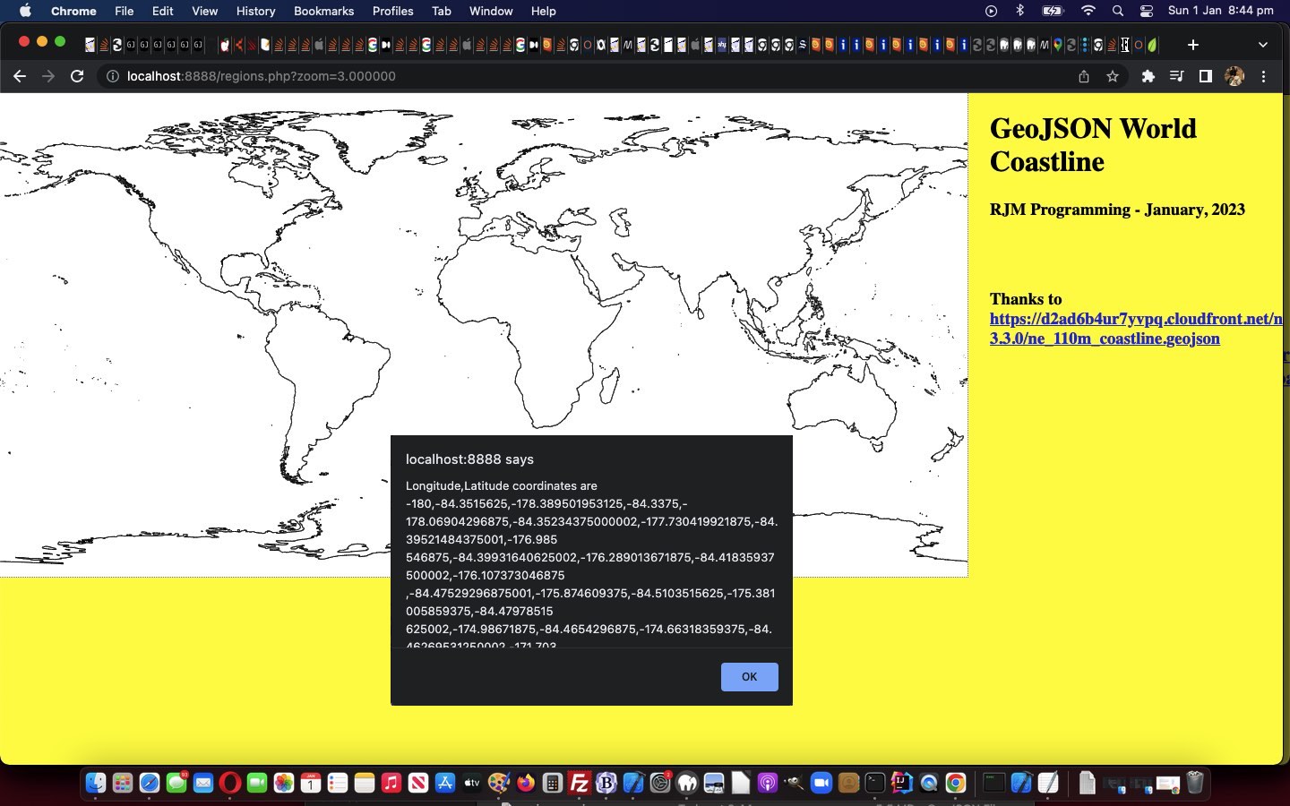
We’re keen to further explore the possibilities of GeoJson public data sets, further to yesterday’s Swift Playgrounds on macOS Map Emoji Tutorial.
And then we remembered some of the methodologies we used with Responsive Web Design Landing Page Image Map Tutorial, talking about image maps …
And so, we arrive at a long planned for tilt at Image Map functionality that we often turn to Mobilefish.Com and its excellent Image Map Creation to help us out … but not today?! Why not? We have a funny set of needs, they being …
- our Image Map’s image will have a variable set of width x height dimensions …
- our Image Map’s image will be transparent
- our Image Map needs to have a hole left aside inside it where the functionality that originally existed (and pointed to WordPress Blog content like you are reading), is still working
… the first two ideas of which, along with …
- canvas element where the …
- GeoJson coordinates … thanks to https://d2ad6b4ur7yvpq.cloudfront.net/naturalearth-3.3.0/ne_110m_coastline.geojson via HTTP://geojson.xyz/ …
- will be plotted … but the canvas element …
- has a z-index set below the image and image map above … meaning …
- we can add some region specific coding into the …
- image map area element (shape=poly) onclick logics
… in our “early days” “proof of concept” regions.php GeoJson PHP web application.
If this was interesting you may be interested in this too.


