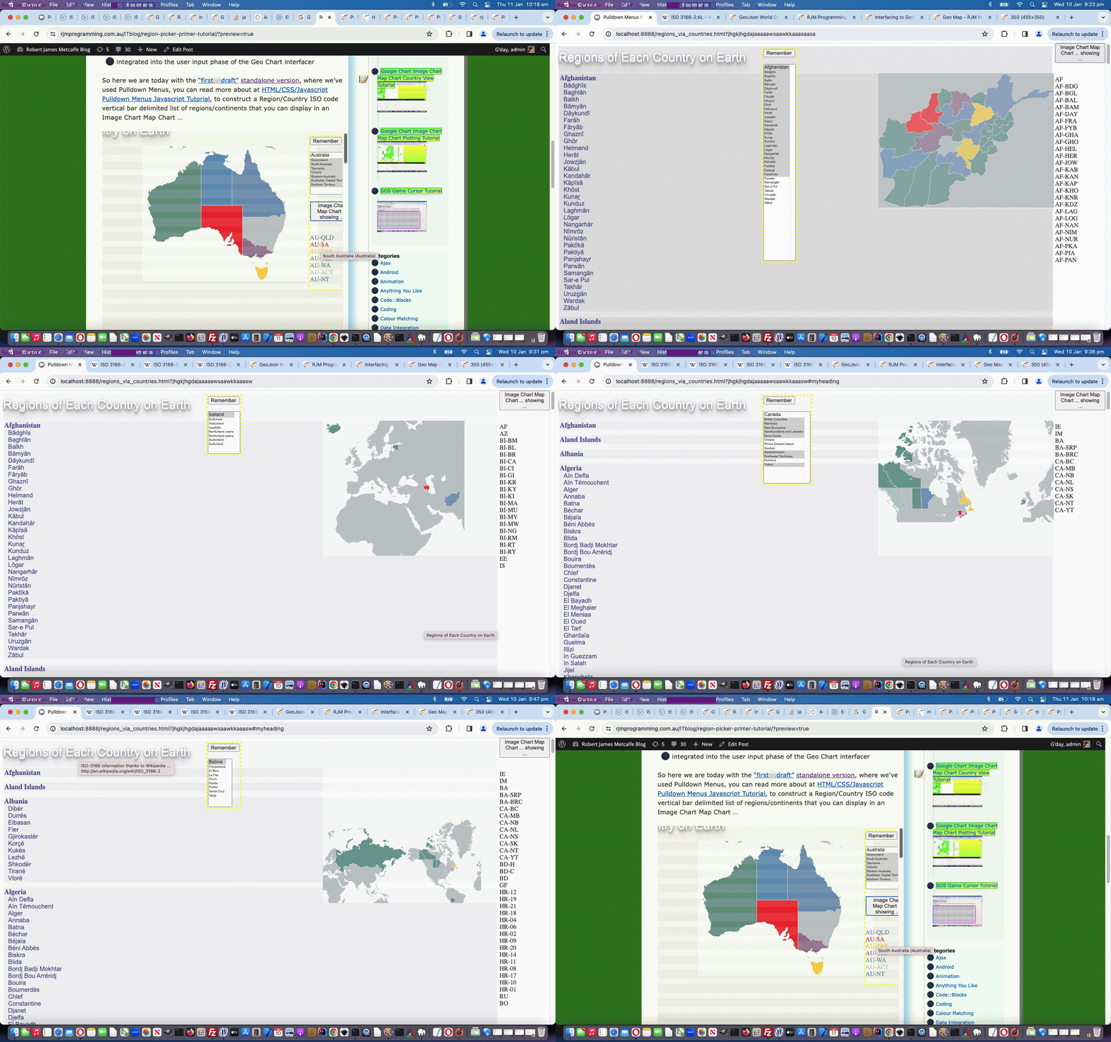
All the Geo Chart and Image Chart Map Chart work recently, along with Wikipedia ISO-3166 regional and country coding help (thanks), has set us on the road towards a …
Region Picker
… online tool, which we envisage will …
- initially be a standalone HTML webpage … and later be …
- integrated into the user input phase of the Geo Chart interfacer
So here we are today with the “first draft” standalone version, where we’ve used Pulldown Menus, you can read more about at HTML/CSS/Javascript Pulldown Menus Javascript Tutorial, to construct a Region/Country ISO code vertical bar delimited list of regions/continents that you can display in an Image Chart Map Chart …
If this was interesting you may be interested in this too.


