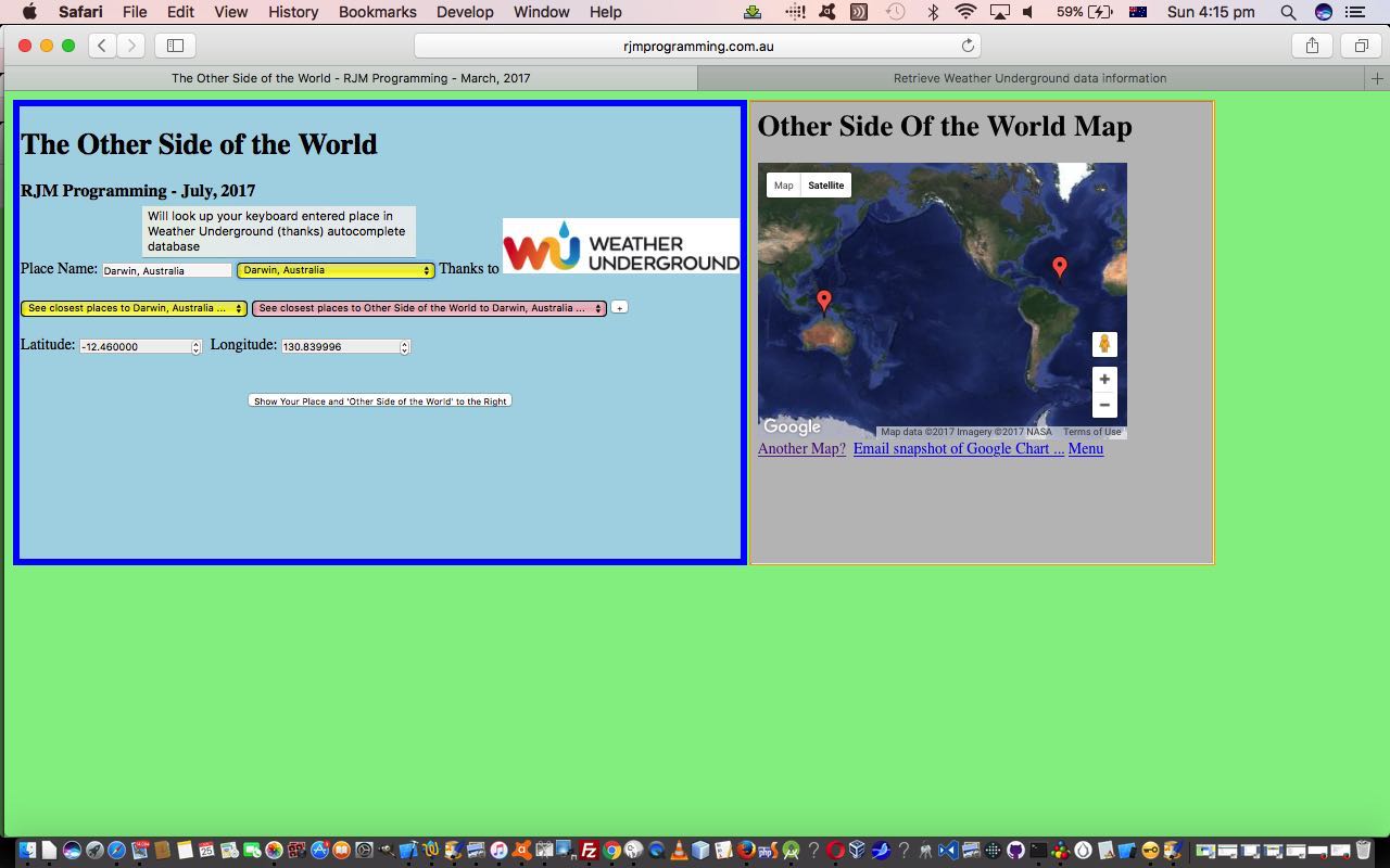
The onblur event in web programming is a very important event regarding interactive keyboard entries made by the user. We base new functionality, today, with our “Other Side of the World” web application, by allowing a user who enters in their own “place” information, can have that information filtered through the same “autocomplete” database provided by the wonderful Weather Underground and its great API service.
When we presented the last Weather Underground related blog posting we even used this functionality also interfacing to the onkeyup keyboard event, making it look up the database after just a few characters typed into the associated HTML input type=text text box, but today we lessen the interaction, presuming the user knows a location of interest and will only want information after tabbing out of this text box … hence the onblur event, only, logic interface to new functionality that creates an additional HTML select (dropdown) element of use to populate those same …
- placename
- country … linked to …
- latitude
- longitude
… fields as talked about yesterday when we presented Other Side of the World Places Tutorial as shown below.
So that’s the idea, but making it happen involved some tweaking of the parts to the Weather Underground blog posting Weather API via Iframe jQuery Ajax AutoComplete Tutorial from some time back, the changes for which we’ll explain later.
Again we call on Client Pre-emptive Iframe techniques for this, telling us that you can just keep on adding HTML iframe elements to make this technique happen for several different sources of information, as necessary.
The code for this is just HTML (apart from the supervised PHP for the Google Chart interface) that you could call other_side_of_the_world
- HTML of the “parent” you could call autocomplete
htm changed in thisway and with this live
run link (or specific place argument calls like the one here for live
run for Darwin link) … and its …
- PHP autocomplete jQuery Ajax engined helper you could call using_key
php and tweaked in thisway
Previous relevant Other Side of the World Places Tutorial is shown below.
A fair while ago now we were in the midst of writing a Geographicals Suite of web applications that, given Latitude and Longitude pairs you could calculate things like …
- Sun Angle at noon
- Moon Angle at noon
- Coriolis Effect
- Distance between Geographical Locations
- Weather at Geographical Location
… and that we eventually added some “placename” capabilities to all this, introduced with PHP/Javascript/HTML Sun Angle Tutorial, which harnessed all this useful goodwill of this useful webpage (thanks) publishing some placename geographicals data.
- placename
- country … linked to …
- latitude
- longitude
… and that we “channel” today, via our beloved Client Pre-emptive Iframe techniques, so that we reuse PHP, rather than having to create new PHP, as an aid to the modularization for added “placename” functionality to our “Other Side of the World” web application we started presenting yesterday with Other Side of the World Primer Tutorial as shown below.
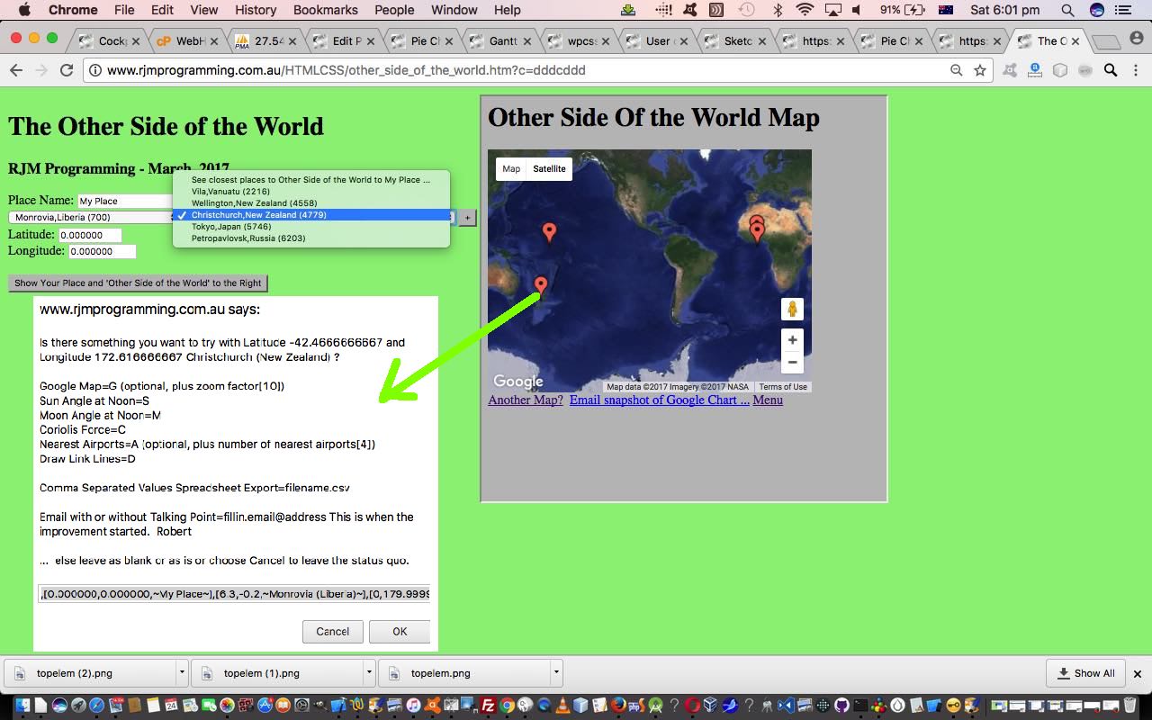
Another thing we are trialling today is a concept (that admittedly seems to need more work in Firefox) of an HTML select (dropdown) element having an onclick event (after an onchange event that changes that select element value to a non-nothing value) having a logic whereby that select element value is used to repopulate the …
- placename (, country) (Great Circle Distance in km away)
- latitude
- longitude
… HTML input type=text and type=number fields automatically. In the normal case of events in non-Firefox web browsers an onchange event change of value to a non-nothing value just causes that select element value to be one of the places shown on the Google Charts Map Chart that we display.
The default is to show five of the nearest placenames in the derived list, but a “+” button can increase that number of “nearest”s as required.
The code for this is just HTML (apart from the supervised PHP for the Google Chart interface) that you could call other_side_of_the_world
Previous relevant Other Side of the World Primer Tutorial is shown below.
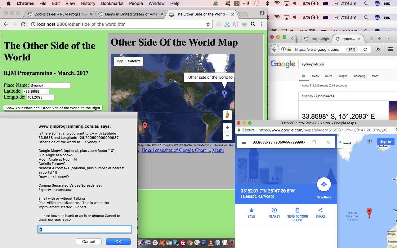
Today we’ve written a first draft of an “Other Side of the World” web application using a Google Chart Map Chart embedded into an HTML iframe element to show the user …
- the position of the place that they enter in for their latitude and longitude … as well as …
- “the other side of the world” to the position of the place that they enter in for their latitude and longitude, calculated by imagining you take a trip from your original location through the middle of the Earth and straight through onto the other location
Is this our “sister” location? Am not sure. But somebody was telling “Porkies” to me as a child where we were told “China” as being on the other side.
The code for this is just HTML (apart from the supervised PHP for the Google Chart interface) that you could call other_side_of_the_world.html if you like, or want to try out.
If this was interesting you may be interested in this too.
If this was interesting you may be interested in this too.
If this was interesting you may be interested in this too.


 Menu
Menu


