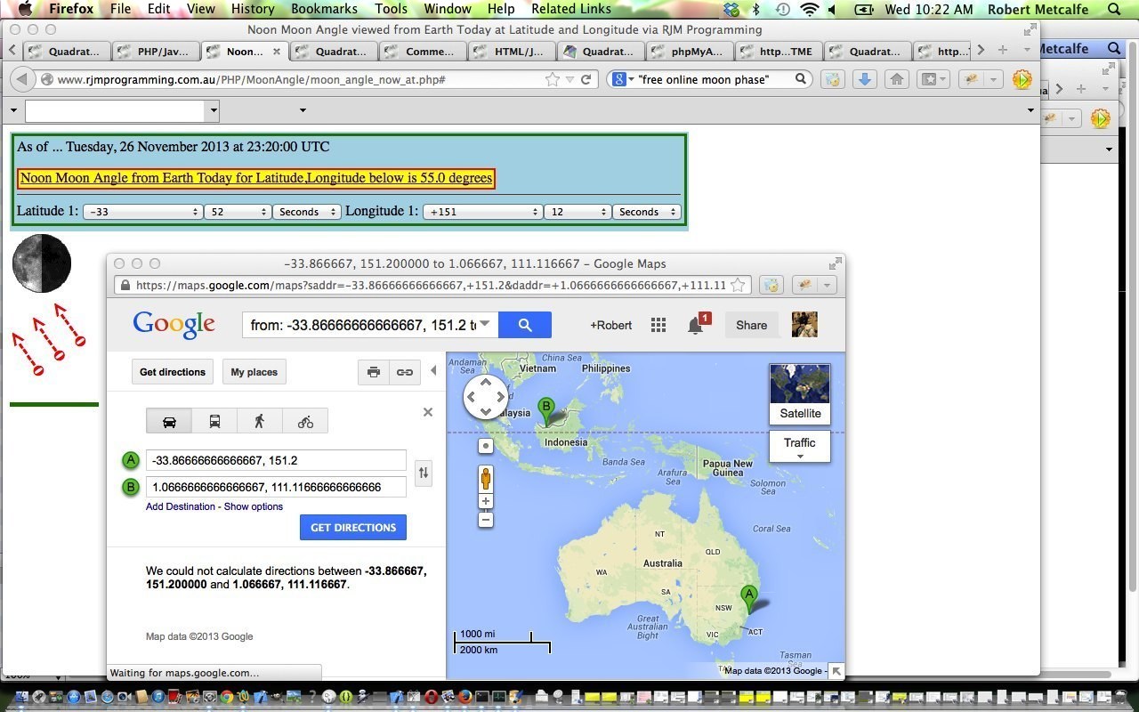
Here is a tutorial that calculates Noon Moon Angles from Earth via the entry of Latitude and Longitude. The calculation of noon moon angles uses the concept of Sublunary Point, which is explained in the quote from Wikipedia below.
The sublunary point (Latin sub-lunar, under the moon ‘, from Latin) is the one place on earth where the moon in exactly the zenith is. He is the point where the line connecting the centers of the Earth and Moon intersects the Earth’s surface. The point is a common auxiliary point to observe the Moon in the celestial mechanics and astronomical phenomenology , and in particular the theory of the tides , as well as the theory of eclipses .
The calculation of the point corresponding to the determination of the geocentric coordinates of the Moon, it has the same longitude and latitude , as the moon astronomical length and width has – both are denoted by φ and β.
The Javascript embellishments in this tutorial mainly revolve around:
The use of window.open can sometimes be blocked by web browsers depending on their settings and you can read a bit more about such issues here.
Useful tutorials that helped, and we give thanks to, were:
- Sublunary Point (information from Wikipedia, from where quote above comes)
- Sublunary Point calculator helper via cURL
- Moon Phase calculator helper via cURL
- Sun Angle formulae applied to the case of the Moon Sublunary Point
- Sydney positioning
- CSS 2D Transformation Rotations
Here is a link to a live run. (The way it changed on 1/12/2013 to have a dropdown of placenames as extra functionality will be explained in a tutorial called PHP/Javascript/HTML Geographical Placename Integration Tutorial on 3/12/2013.)
Here is a link to some downloadable PHP programming source code which you may want to rename to moon_angle_now_at.php
If this was interesting you may be interested in this too.


